Walks on Eigg (2026)
Eigg might be a small island, but there’s plenty of walking to be done if you have the time. Some routes are straightforward and easy to follow, while others depend a bit more on using maps and making your own paths.
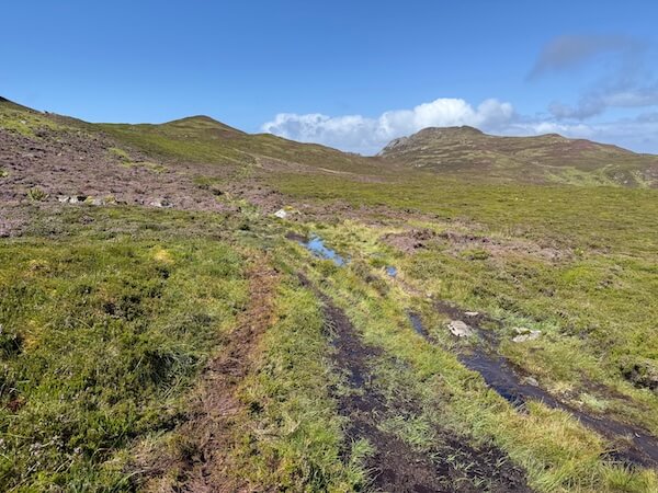
Most of these walks start from Galmisdale and can be done in a few hours, although you can easily extend them or combine a couple if you’re staying longer. You don’t need to be an experienced hiker, but you do need to be prepared for wet and boggy ground in places, even in good weather.
These are the walks I tried during my visits, along with a few practical tips that might help if you’re planning your own time on the island.
Disclosure: When you make a booking or purchase through selected links on this site, I may earn commission from partners at no extra cost to you. This helps me to build the site and bring you more useful posts! Such links do not include local businesses.
The Caves (Massacre Cave & Cathedral Cave)
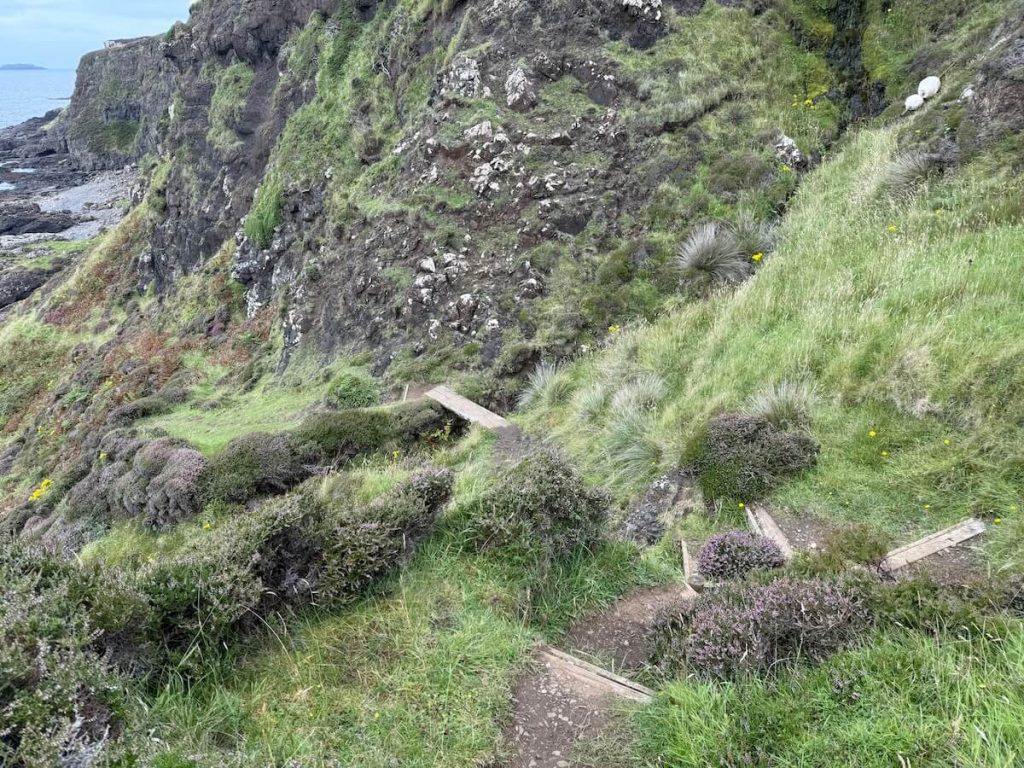
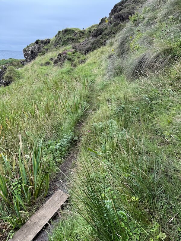
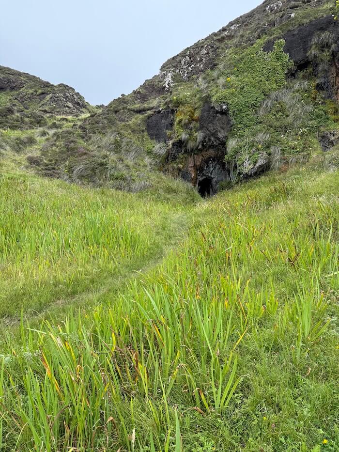
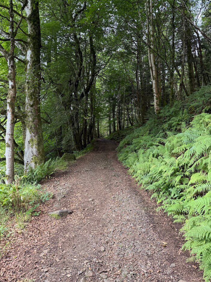
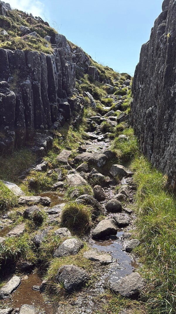
To get to the caves, take the same route as to Sgùrr, heading up the hill from the pier with the pods on your right. Pass the road which turns off to the Community Hall on the right, then go through the second gate on the left. You may see a notice or purple markers. Follow the trodden path.
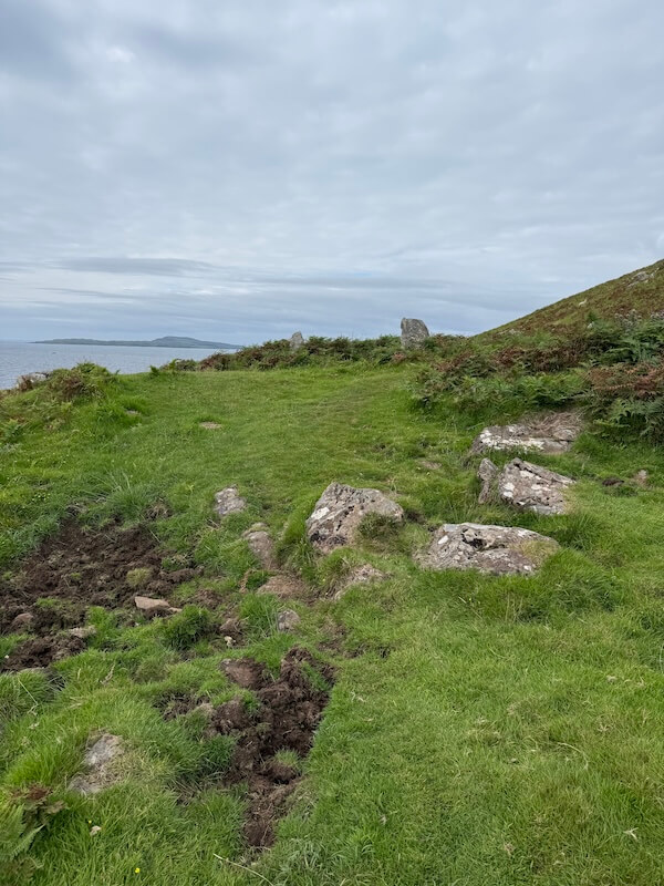
It will take you towards the coast, where you’ll find a small gate opening onto a path down to the shore. It looked a bit steep from the top but it wasn’t bad at all and was much easier coming back up than we expected. There is a mix of rough steps, planks and trodden path.
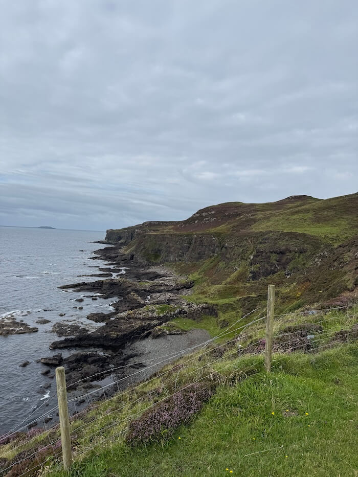
Once at the bottom, turn right to get to the Cathedral Cave. As you walk along the shore, crossing rocks on the way, you’ll soon see the large cave in the distance.
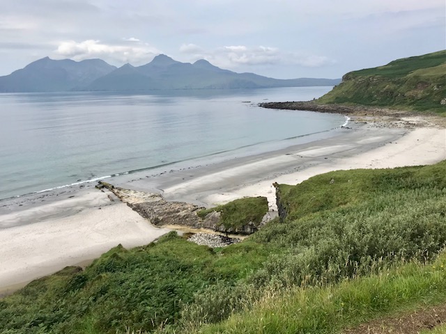
It’s important to remember that you’ll have to do this at low tide as the caves are inaccessible at high tide. Even when it’s low, keep an eye on it or check the times in advance to make sure you don’t get cut off and stuck in the caves. The rocks can be slippery, so footwear with a good grip is recommended.
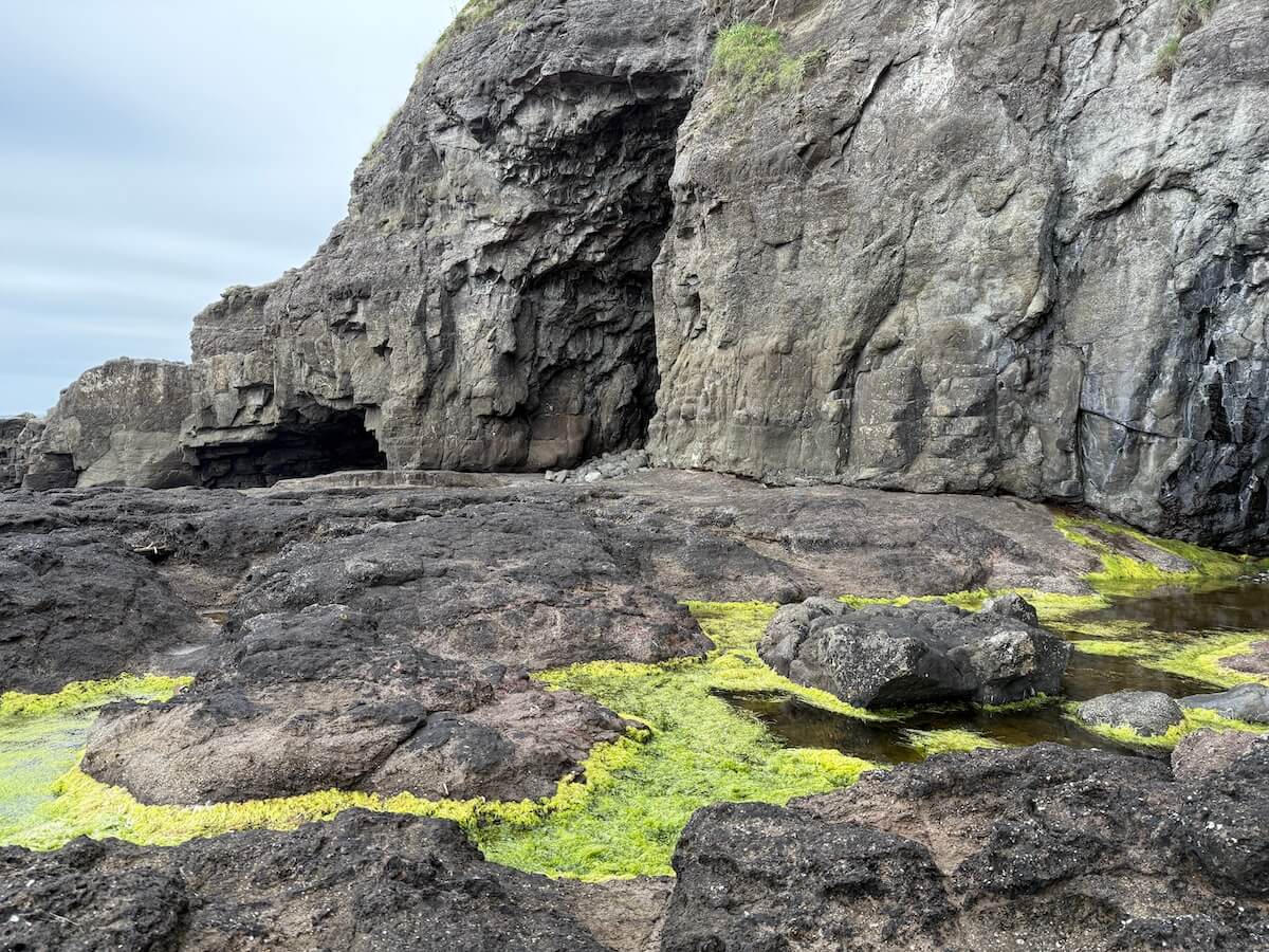
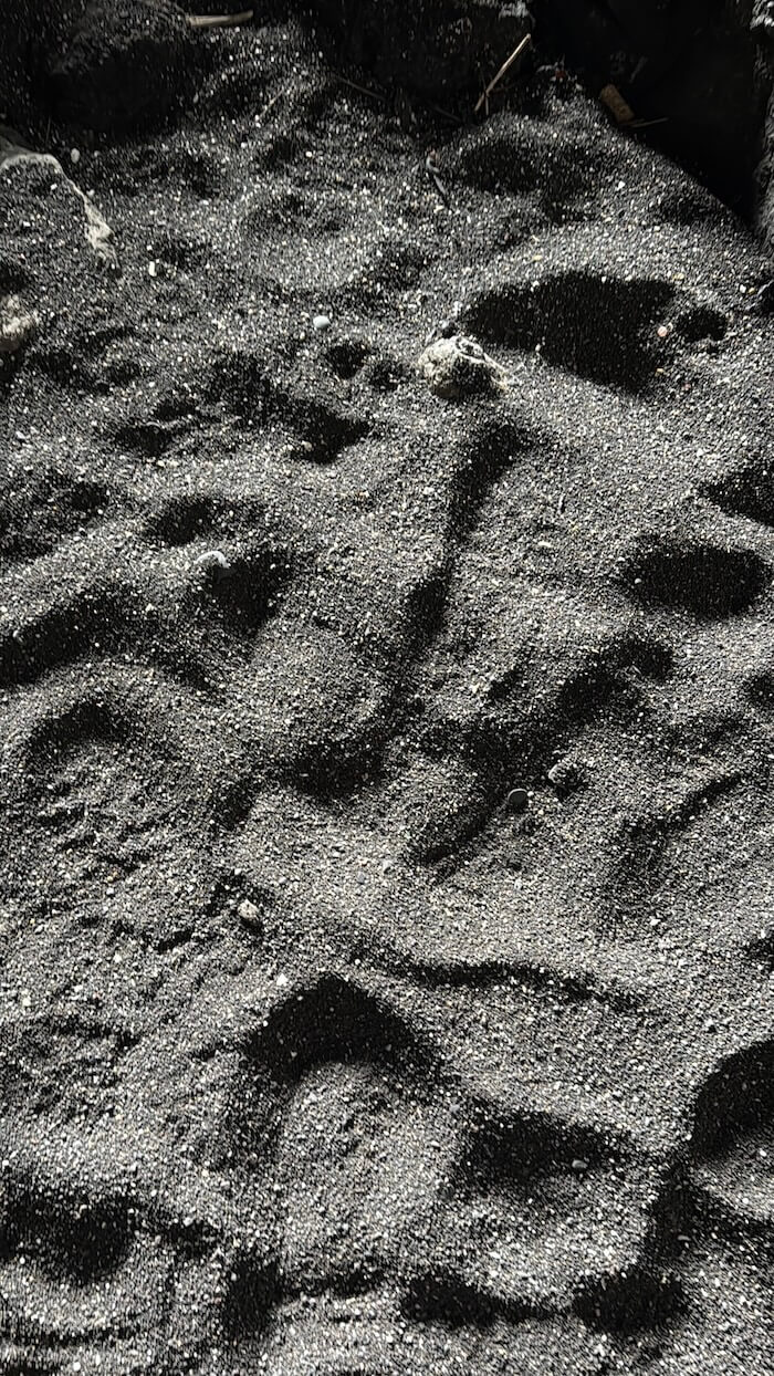
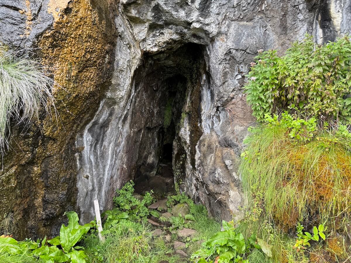
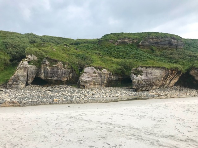
You can see from the pools in the photo above how high up the tide comes. The Cathedral Cave is in the centre of the image. To the left is another low cave. We didn’t go on to investigate it as we felt the tide was starting to turn.
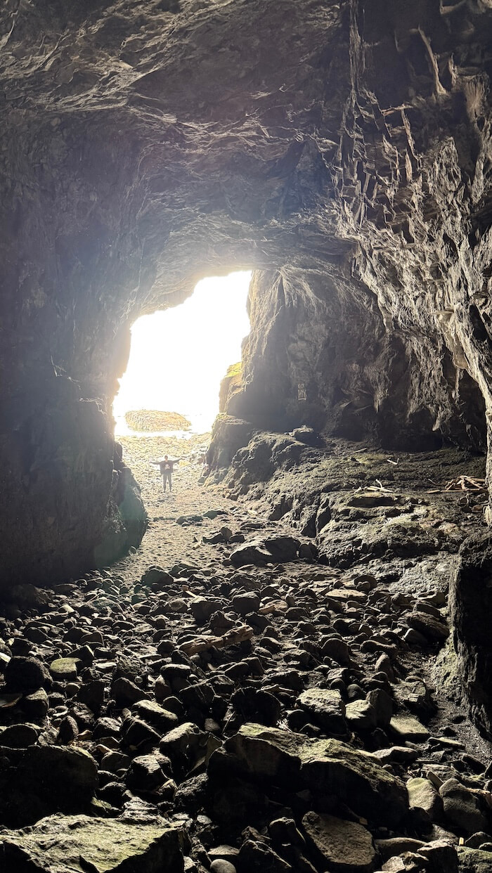
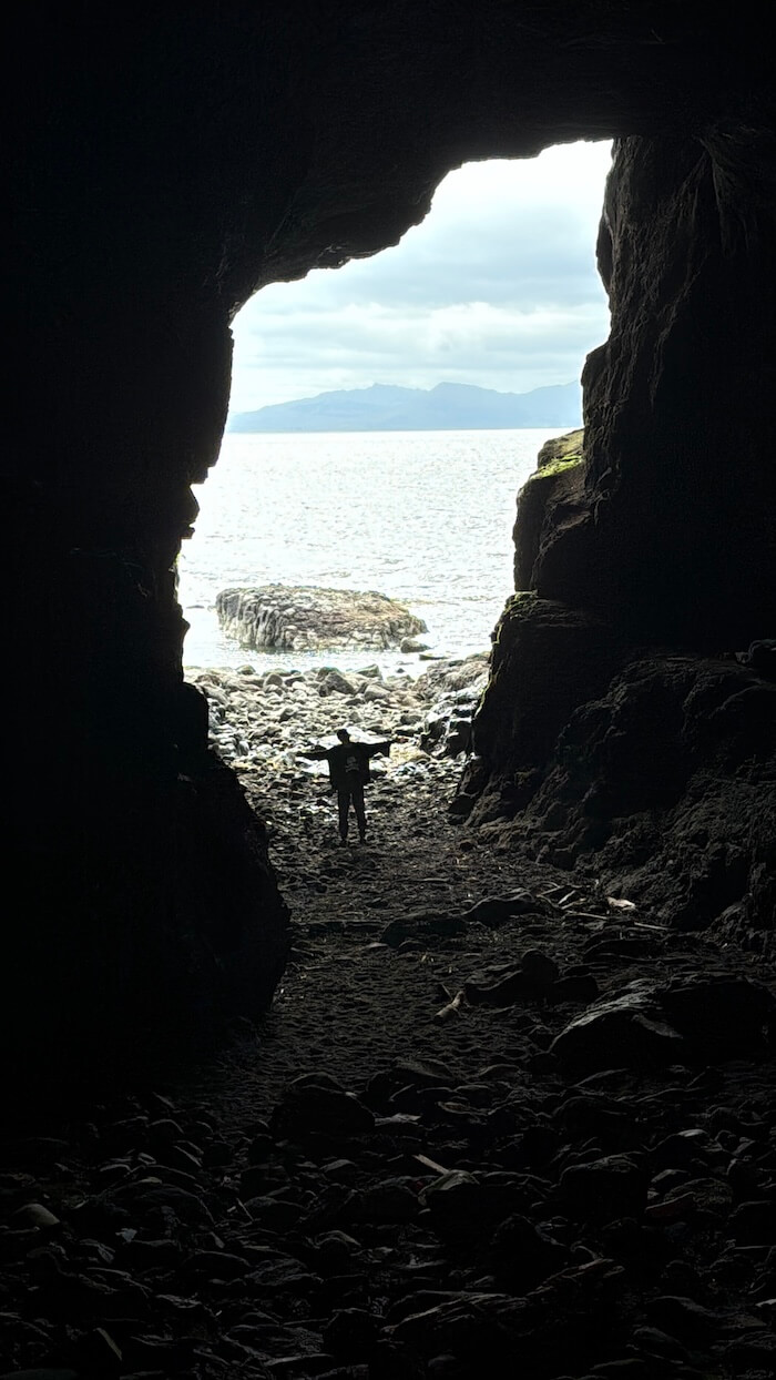
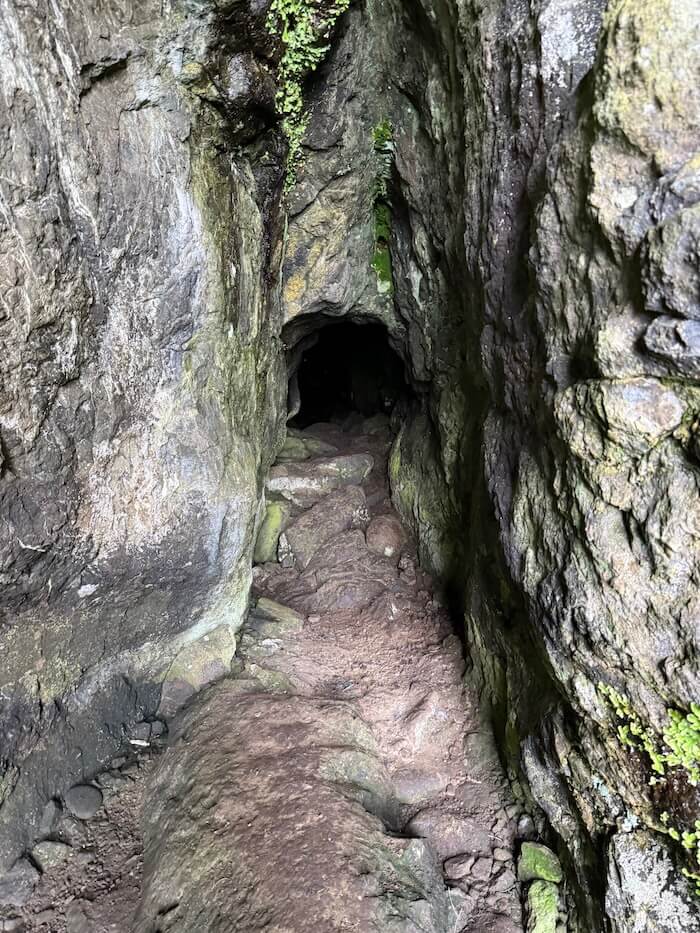
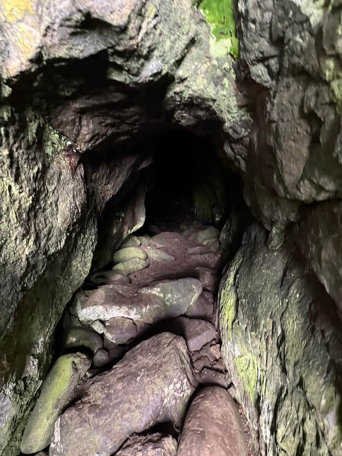
The main cave is huge and it goes quite deep into the mountainside. You can walk around 100 feet or so into the cave. As you’d expect, it gets narrower towards the back and you’ll also need a torch at that point.
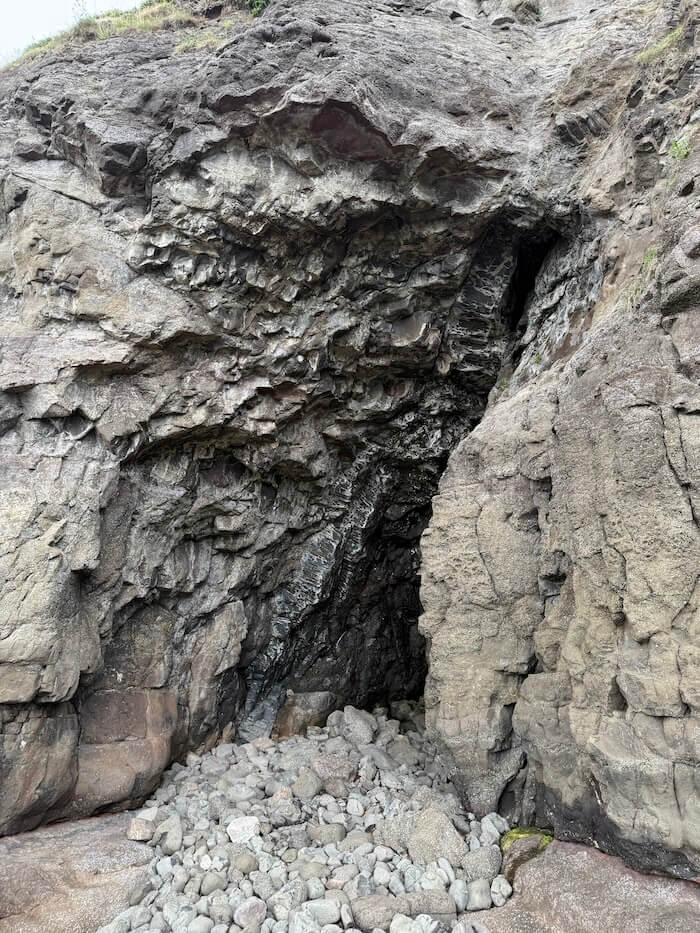
It’s a good spot for taking photos, looking out the cave entrance across to the Isle of Muck. In the photos below, you get a better sense of the size. It is believed that its name comes from Catholic masses being held in the cave many years ago and it looks like it would have held quite a lot of people!
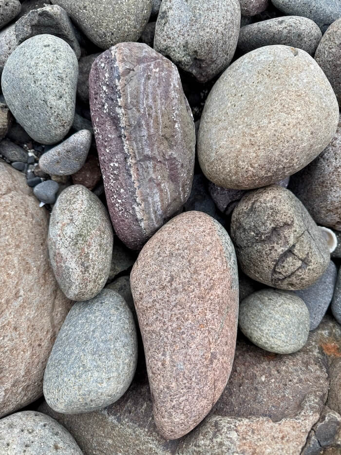
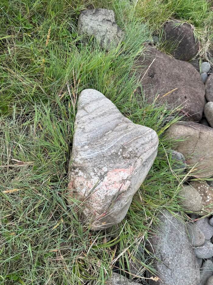
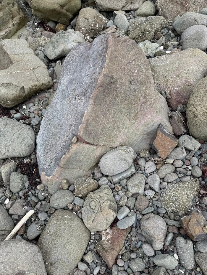
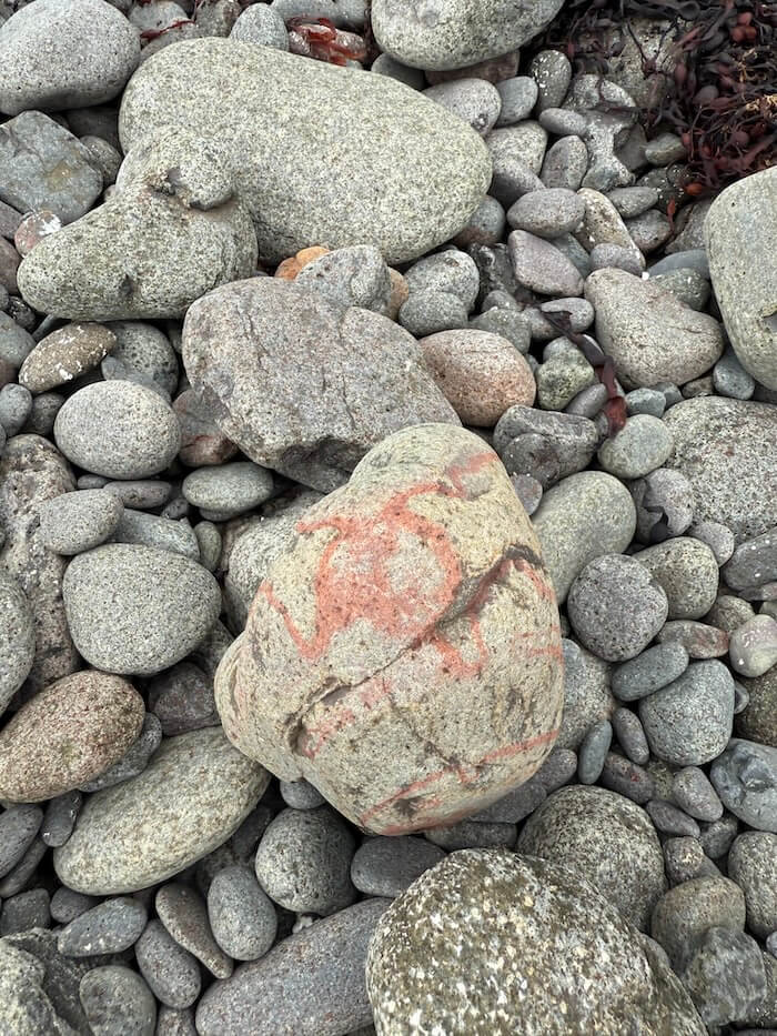
Once you’re done there, start going back the same way you came. There are lots of interesting rocks along the way too.
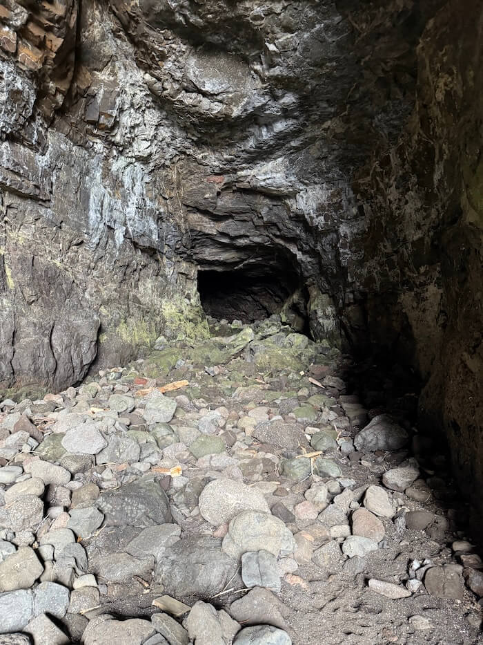
Instead of going up to the steps, keep going along the shore. Soon after, you’ll find the Massacre Cave, which is much wetter, with boggy and marshy ground outside.
The first part of the cave is very small.
However, at the back is a space just big enough to squeeze through to the larger area behind. Notices on the island advise you not to try to pass through as there is a risk of falling rock.
The Massacre Cave is of historical importance as the place where around 400 islanders were trapped and killed during the tragic events of the 16th century. If you’re learning about the history of the island, or even Scotland in general, visiting it can give some perspective and you may take time to reflect here.
If you only have time to visit one, the Cathedral Cave is definitely worth visiting. Just make sure you check the tides, time it properly, wear decent footwear and take a torch and camera.
You can watch a video about The Massacre of the MacDonalds of Eigg here.
Old Villages of Grulin
The villages of Upper and Lower Grulin were home to crofting families, working the land and fishing in the sea below. Sadly, they headed to Nova Scotia during the Highland Clearances in the mid-19th century and a visit here is another moment for reflection on all the hardships that the inhabitants of Eigg suffered.
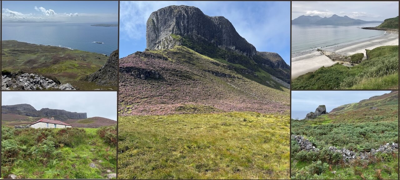
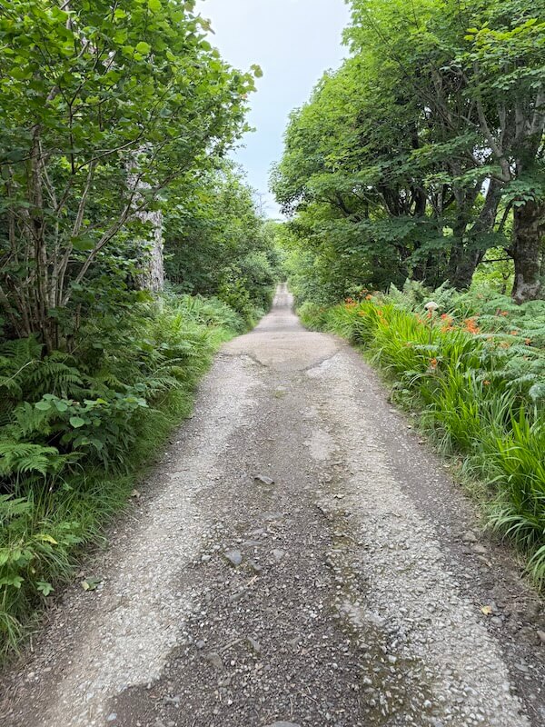
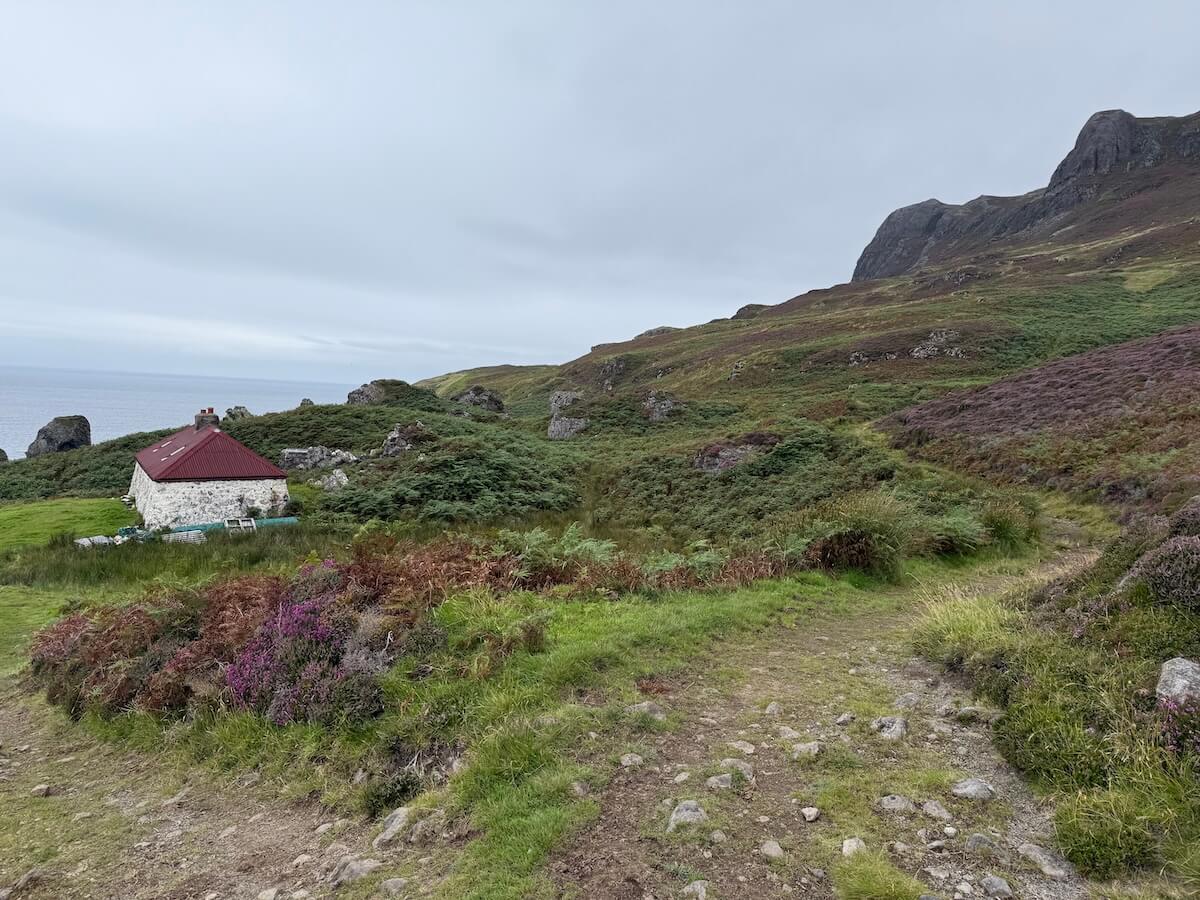
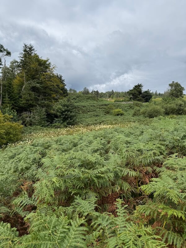
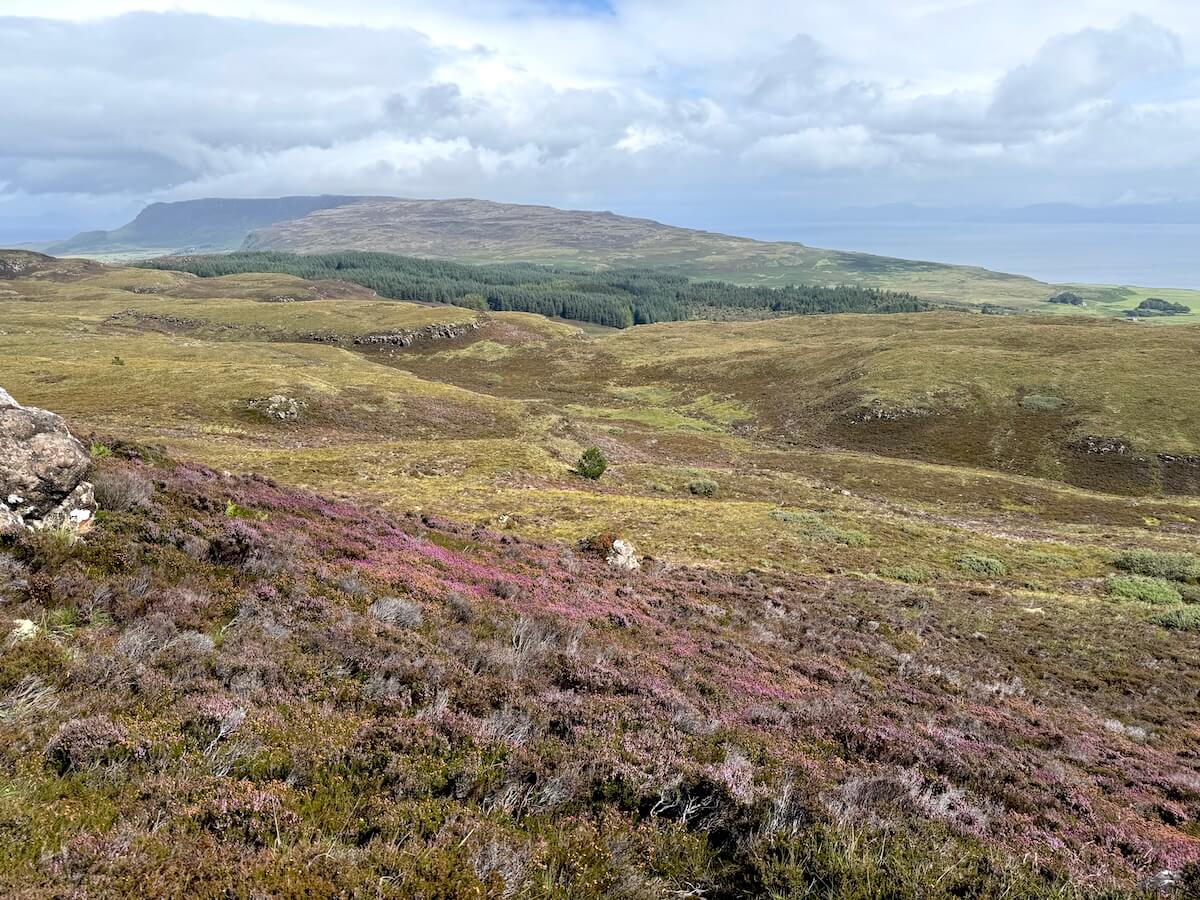
I combined this with the walk to the caves. After coming back to the road, turn left going uphill towards An Sgùrr. (Or if you’re starting in Galmisdale, walk up the hill passing the pods on the right.) You pass through a small wood, through a field and follow the path until you get to a house at the end. Go through the gate and turn left onto the gravel track.
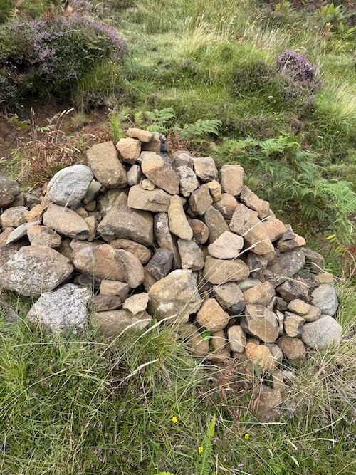
Pass a small cairn on the right and further along, you’ll see the wind turbines down to your left. Keep them to your left. You’ll have a good view of the Sgùrr and you’re walking alongside it much of the way.
The dip in the middle of the second photo above is where the trail to the Sgùrr goes up to the top but from the far side.
Eventually you’ll come to an old cottage, which was restored some time ago. You now have two options – walk in front of the cottage or go round the back.
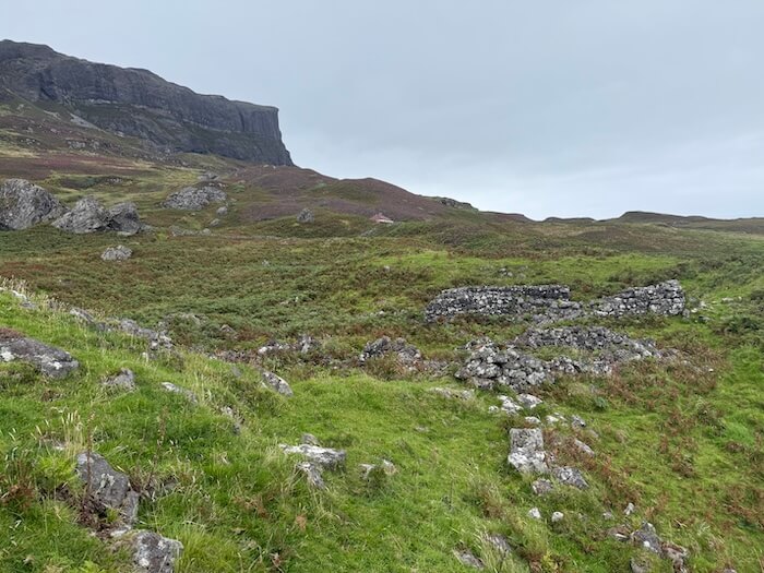
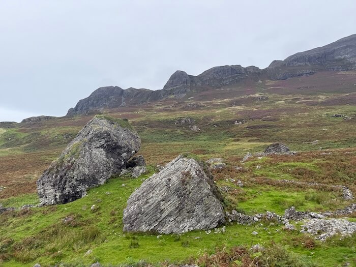
I chose to go round the front and went down to see the old settlement of Upper Grulin there. There are also several huge rocks, which are apparently erratics left over from the Ice Age.
There are more houses higher up so rather than going back to the cottage and going around the back, I just cut uphill through all the ferns and then walked behind the cottage.
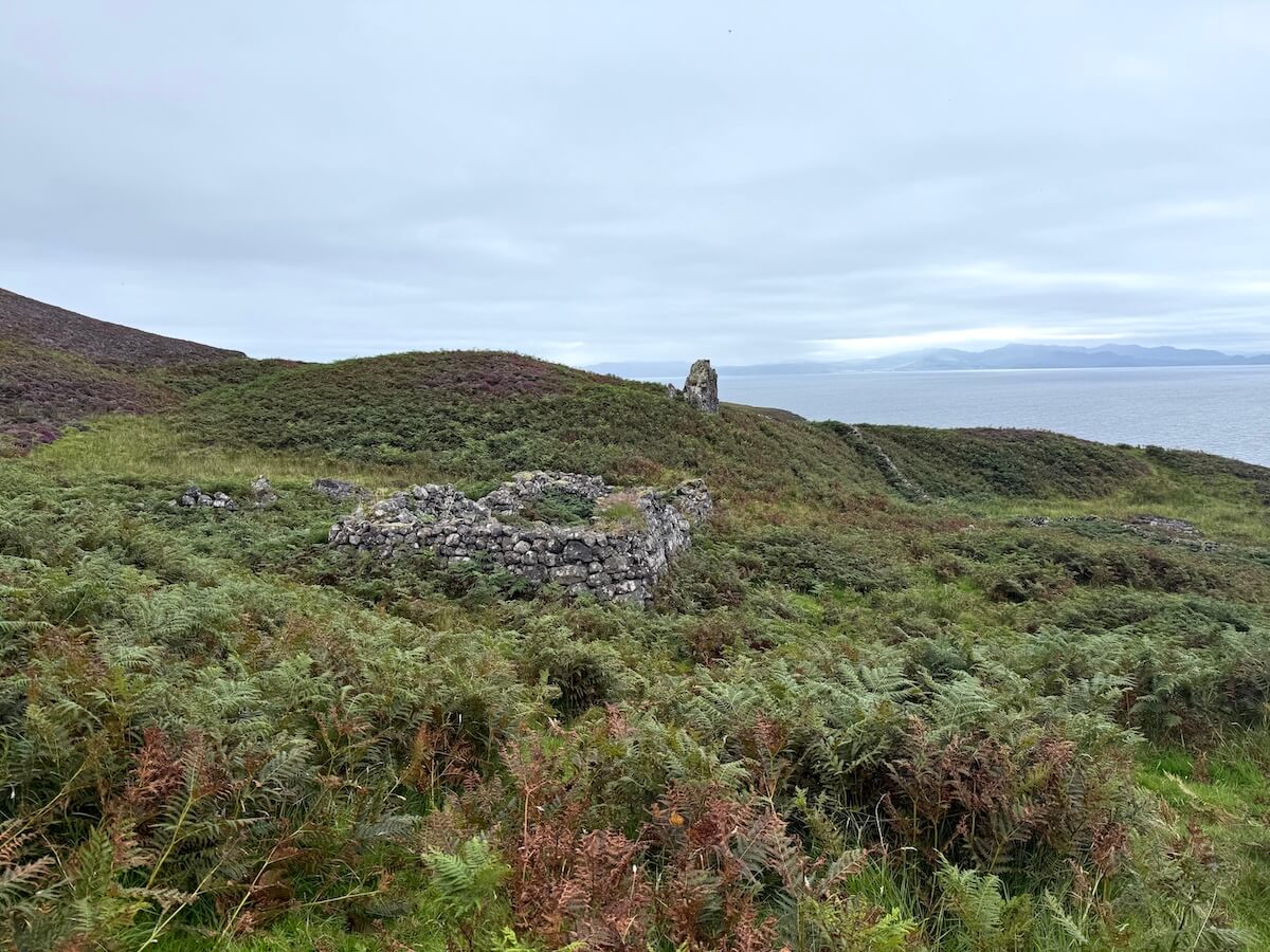
I didn’t do this but if you continue further east, you’ll find the village of Lower Grulin. Then you just go back the same way that you came.
This walk was probably one of the driest we went on as it mostly follows a gravel track. There were some large puddles right across the track though as it had been raining quite a lot. If you’re not planning on doing the Sgùrr, it’s worth doing this to see scenery on the south of the island and over to Muck.
Click here to get your free Eigg checklist to plan your trip
Kildonan and Church and Cemetery
We started our walk to Kildonan from Galmisdale and took the road along the shore. Further along the bay, the road turns uphill but we followed the path that continued along the shore instead. You can go either way.
We didn’t really see clear markers so we just made our own path in places. Sometimes we had to backtrack when we came to a fence or some very dense vegetation but most the time we were able to follow a lightly trodden path. Along the way, we kept checking our online maps to see where we were in relation to Kildonan.
Eventually, we decided to cut back towards the road rather than continue along the shore. Maybe we’ll do it another day but we felt like opting for an easier route and shorter walk by that point.
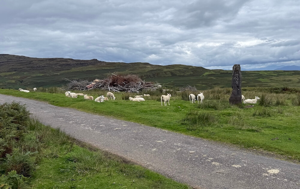
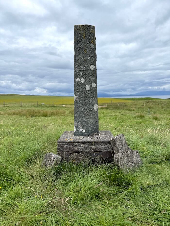
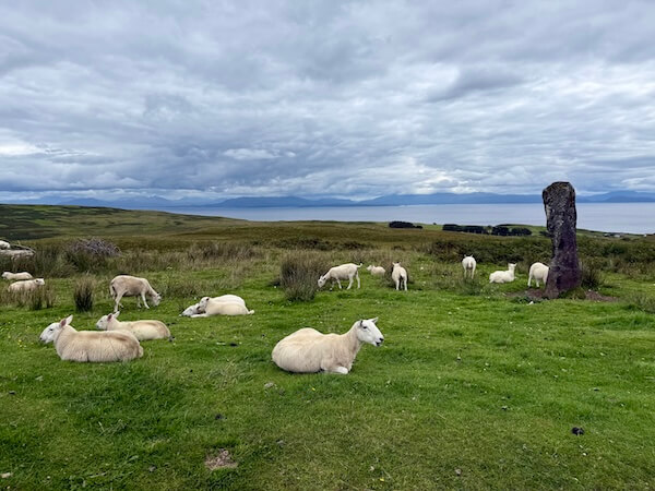
Once we reached the standing stone on our right, we crossed over the grassy ground to the other road, which leads down to Kildonan.
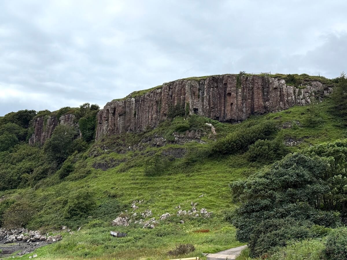
Near the bottom, Kildonan Mill is on your left (a house with a wheel on the far side) and then just after that you’re at the shore again, and on your right, you can see some interesting columnar basalt cliffs. From there, we followed the road round and up to the church and cemetery.
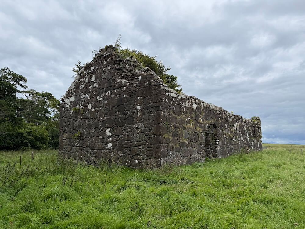
For a little bit of background, Kildonan was once an important place of worship for the island community and both the church and cemetery date back several centuries.
The site is linked to the early Christian martyr St Donan, who is believed to have been killed on Eigg in the 7th century. The name Kildonnan, or Cill Donan in Gaelic, means ‘church of Donan’.
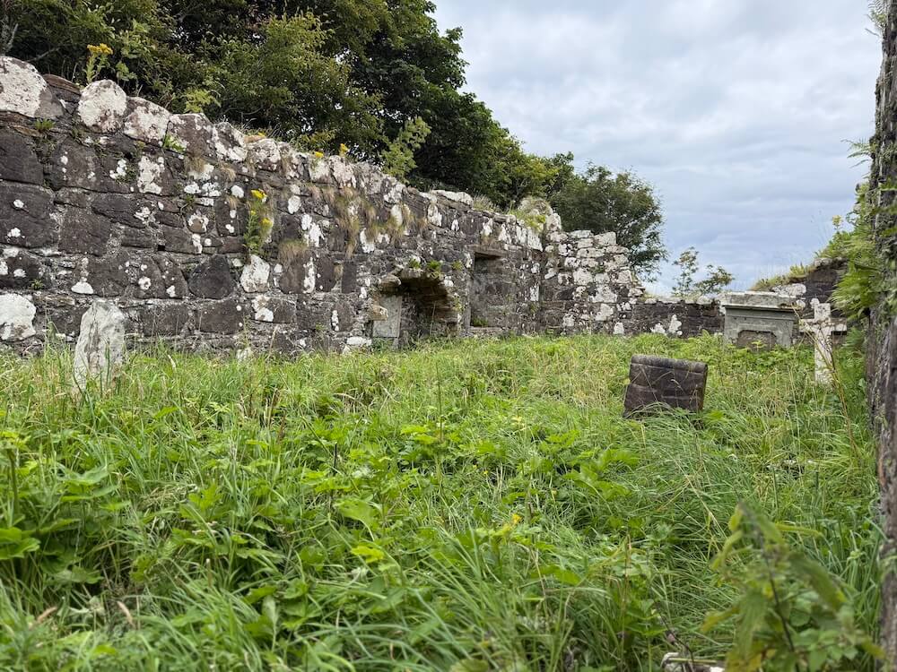
Archaeological digs there have found evidence of burials in the Neolithic period (around 2000-4000 B.C.) Look out for the information board sitting on the ground.
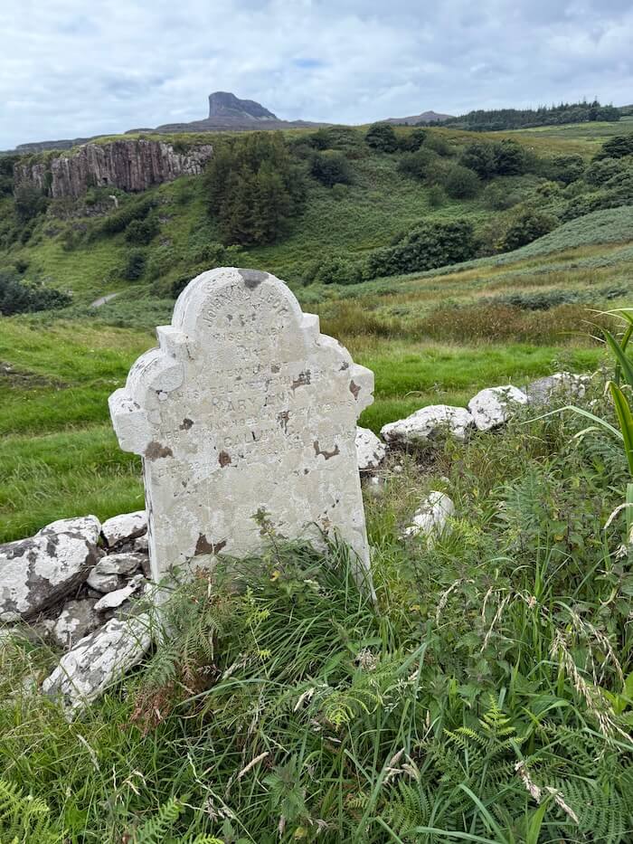
The cemetery itself was interesting to see along with the church ruins, the broken cross and the graves, some of them quite old. There were also Commonwealth graves in the newer part of the cemetery.
We had a wander round and looked at the graves and nearby houses before sitting down to enjoy our packed lunch. Odd choice for a picnic spot maybe!
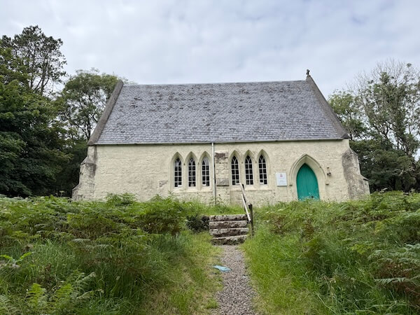
On the way back, we continued up the road that veers to the left and takes you back to the standing stone and road. We cut across the grass before the standing stone and visited the old Church of Scotland, which was hosting an exhibition on the history of the island and the community buyout.
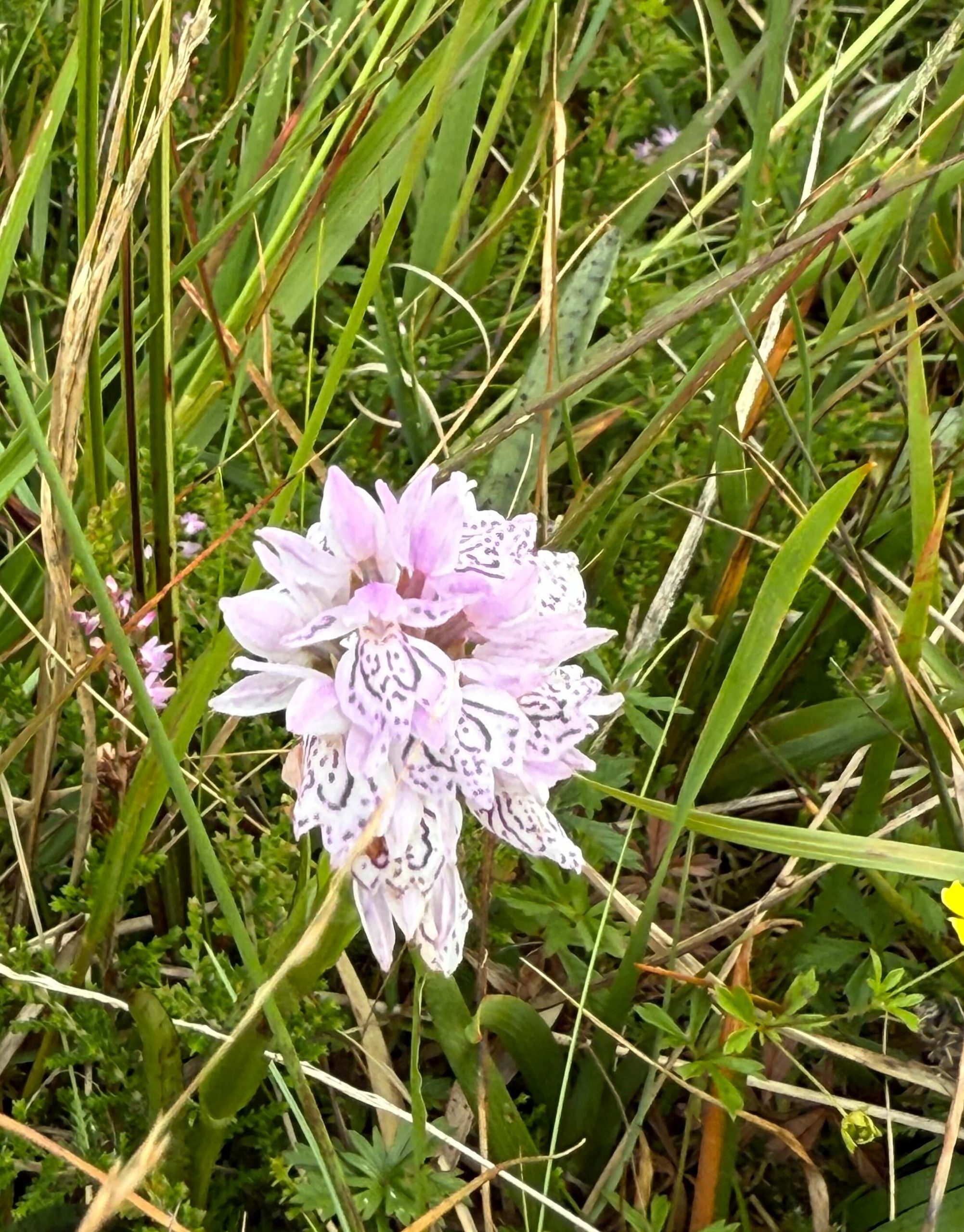
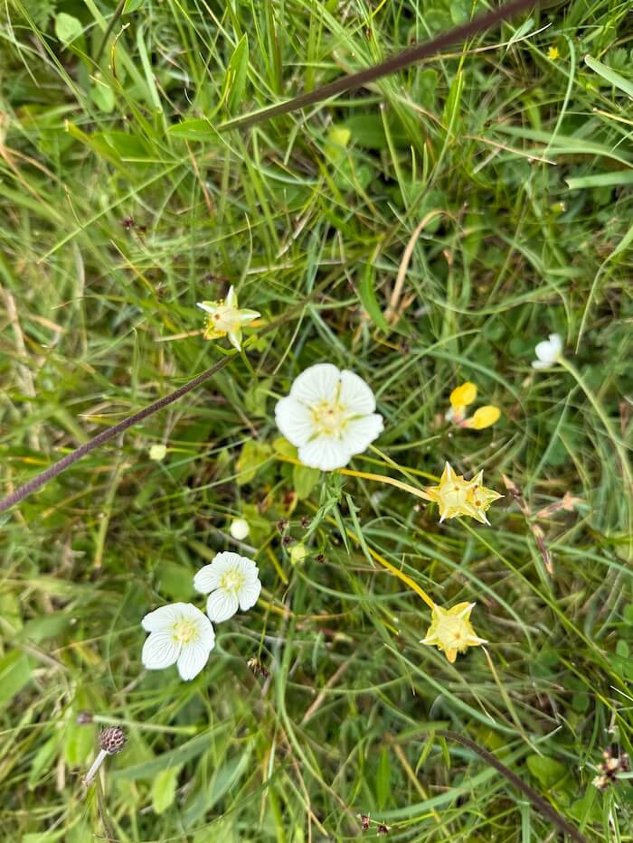
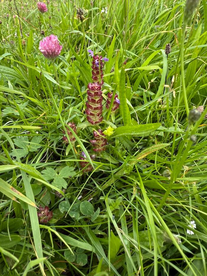
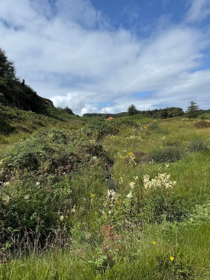
The walk off the road had a mix of terrain – grassy stretches, wet ground in places, thick ferns and uneven ground. There were also some lovely views and lots of wildflowers, making it all the more enjoyable.
You could also keep it simple and just follow the road all the way to Kildonnan without going off the paved road at all. I just enjoy diversions too much!
It was a walk we both really enjoyed and it could easily be extended. From the road you can continue further up to the museum, and eventually to Cleadale, where you could go on to the Singing Sands or up to the ridge. You could also go down to Laig Bay.
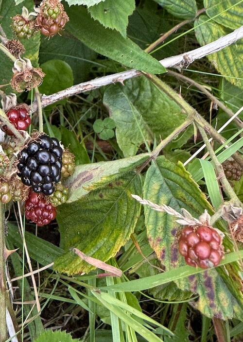
We did about 12,000 steps on this route, taking the overland section first and then heading down via the standing stone. We were there at the right time to be able to eat lots of brambles on the way back!
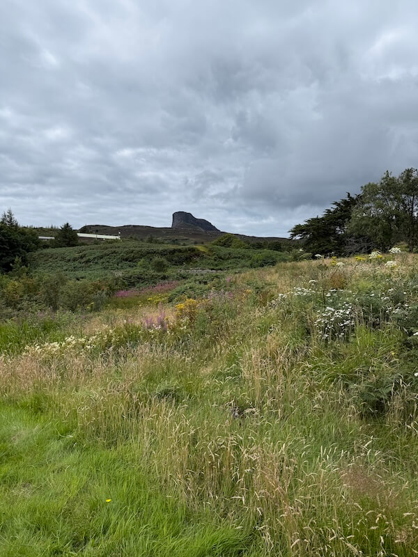
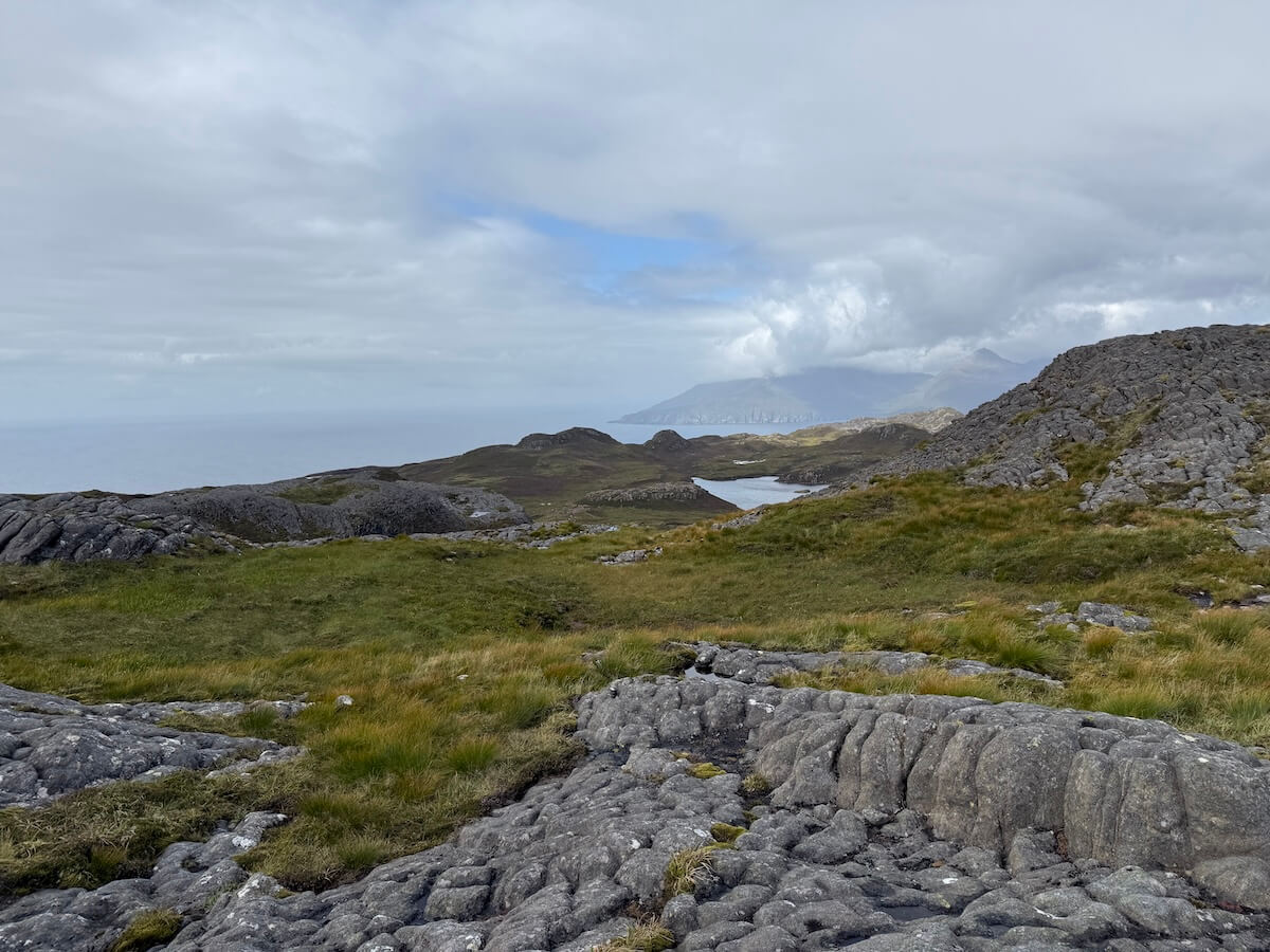
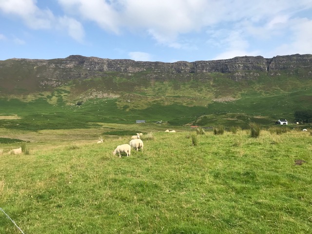
An Sgùrr
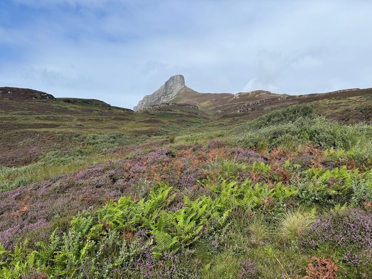
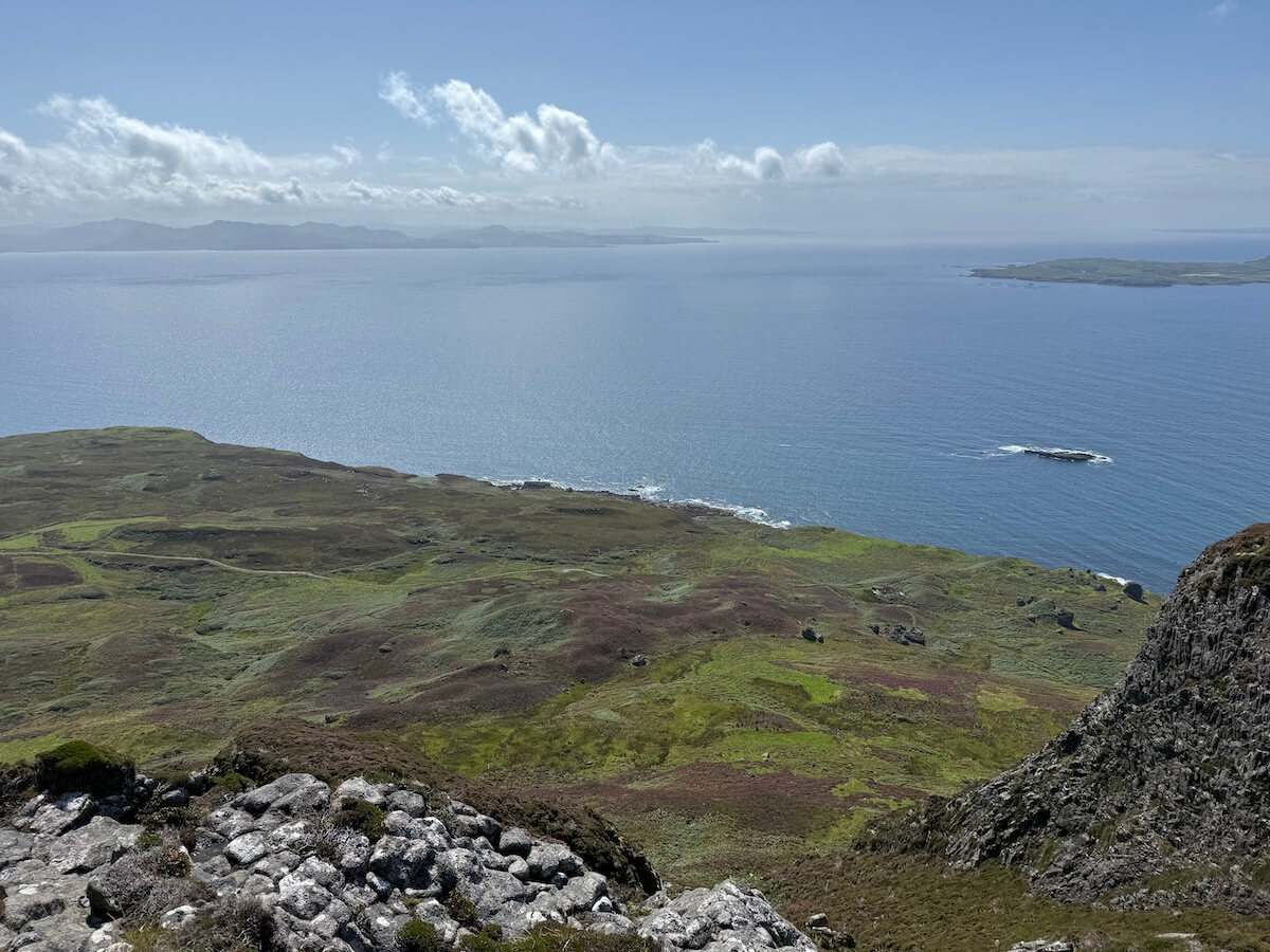
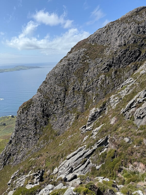
Climbing up the Sgùrr is well worth doing if you have the time. You get stunning views across the island even if you don’t make it anywhere near the top. It’s worth going as far as you’re able or as time allows.
From different points you can see across the island itself, over to the mainland and the other Small Isles. On one side you can look across to the Isle of Muck, while on the far side the views stretch over to Rum and even to the Isle of Canna.
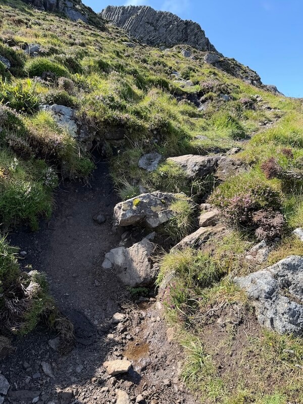
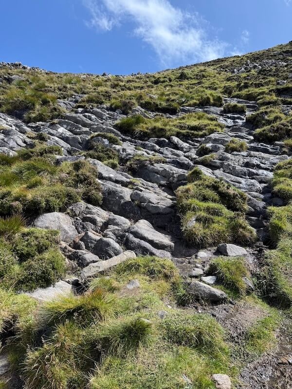
I wouldn’t say it’s particularly challenging until you get near the top, where there are parts you have to scramble up. However, it was very wet and boggy, so waterproof boots are essential.
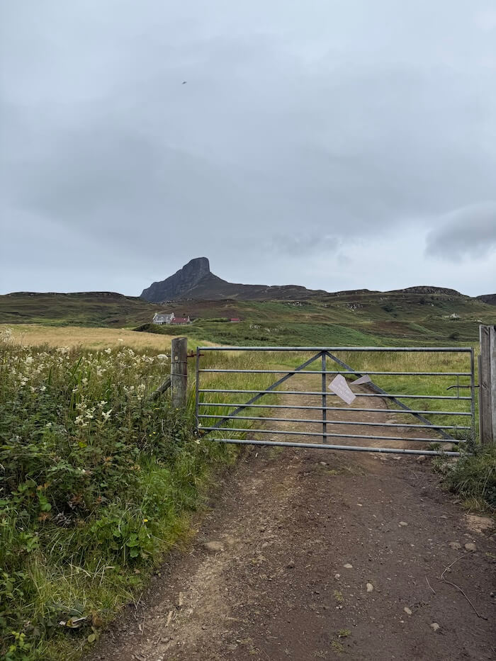
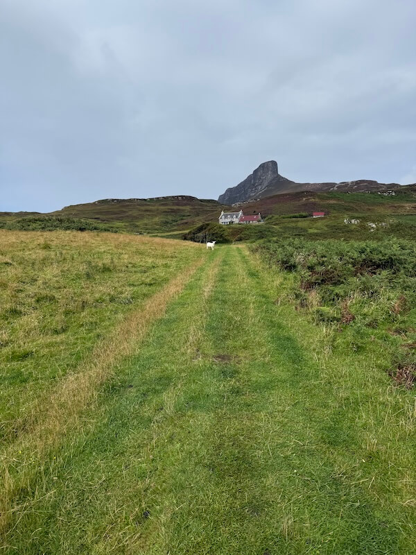
From Galmisdale, follow the path uphill with the pods on your right. After passing through a field and reaching the road next to a house, turn left. Further up, you’ll see a small cairn on your right with a path on either side. You can take either as they soon merge.
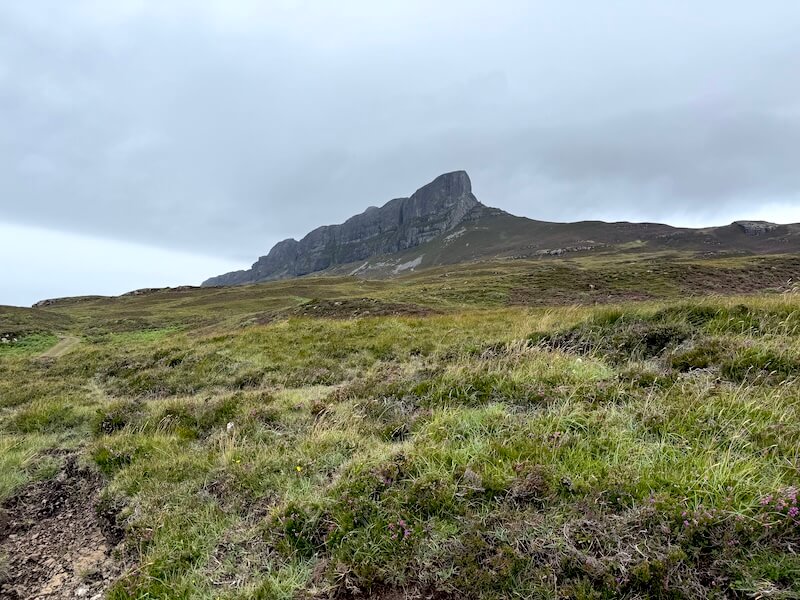
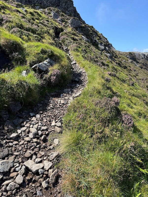
Follow the trail, which leads around the foot of the Sgùrr and then up the side. The path is pretty clear most of the way up, although you might find it’s better to deviate slightly at some points to avoid the muddier or boggier parts.
The incline is fairly gentle and gradual, but it does get wetter the higher you go, and at one point the trodden path became quite faint. Following a trail on your phone can help make sure you stay on course. (I veered off at one point.) You can use AllTrails or Wikiloc for this.
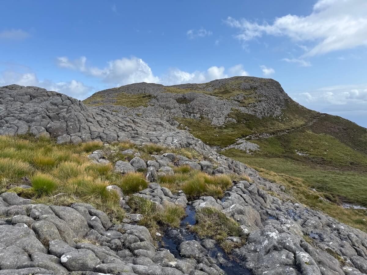
Once you’ve gone along the foot of the Sgùrr, the path heads up the side about halfway along.
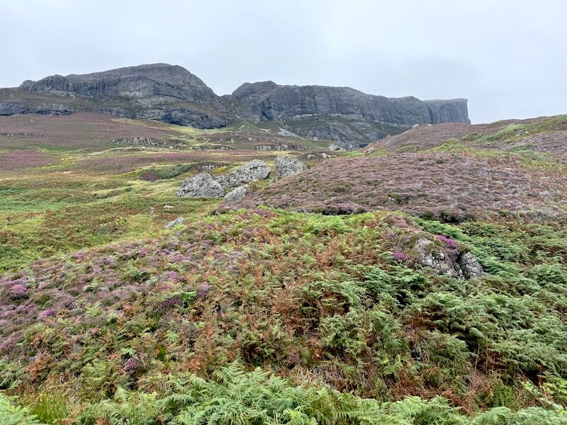
If you only go as far as this point, you’ll still get fantastic views. and you can also see down to the old settlement of Upper Grulin. At this point, I looked at resources online to see if it was possible to get down this way but it wasn’t really recommended. Experienced walkers may look into it more.
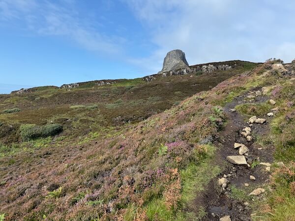
Near the top there’s a short scramble up some rocks, using stones as steps for about 20 feet, before reaching a clearer path again.
I had to turn back after that and before the very last stretch because I needed to catch the ferry but it looked like a straightforward path around and up to the front. You can see it in the photo below.
Even without reaching the summit, it was a fantastic walk and I’m really glad I did it. I hope to go back one day and get right to the top when I have a full day and no ferry to catch.
It then took me less time than expected coming down, so I had time to do a detour continuing straight past the house instead of through the gate and across the field. It’s part of the Lodge Garden and Manse Wood walk on the Eigg Walk Map at the pier.
Tips for climbing the Sgùrr:
- Watch the weather: mist can come down quickly.
- 100% waterproof footwear is a must.
- Take your camera – the views are stunning.
- Tick repellent is recommended as you’ll be walking through tick areas.
- Following a trail on your phone can help make sure you stay on course.
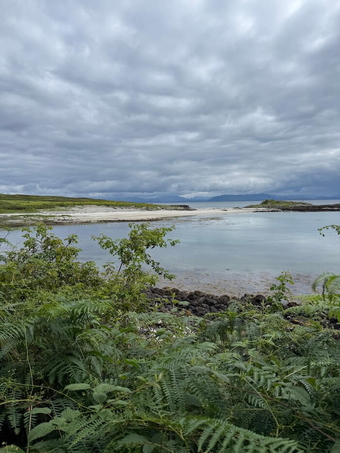
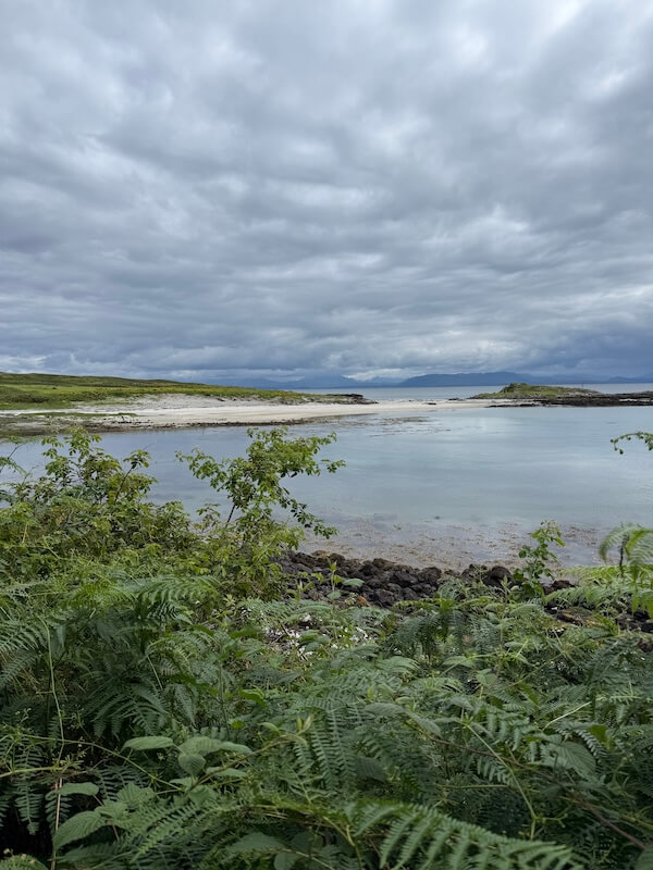
Singing Sands
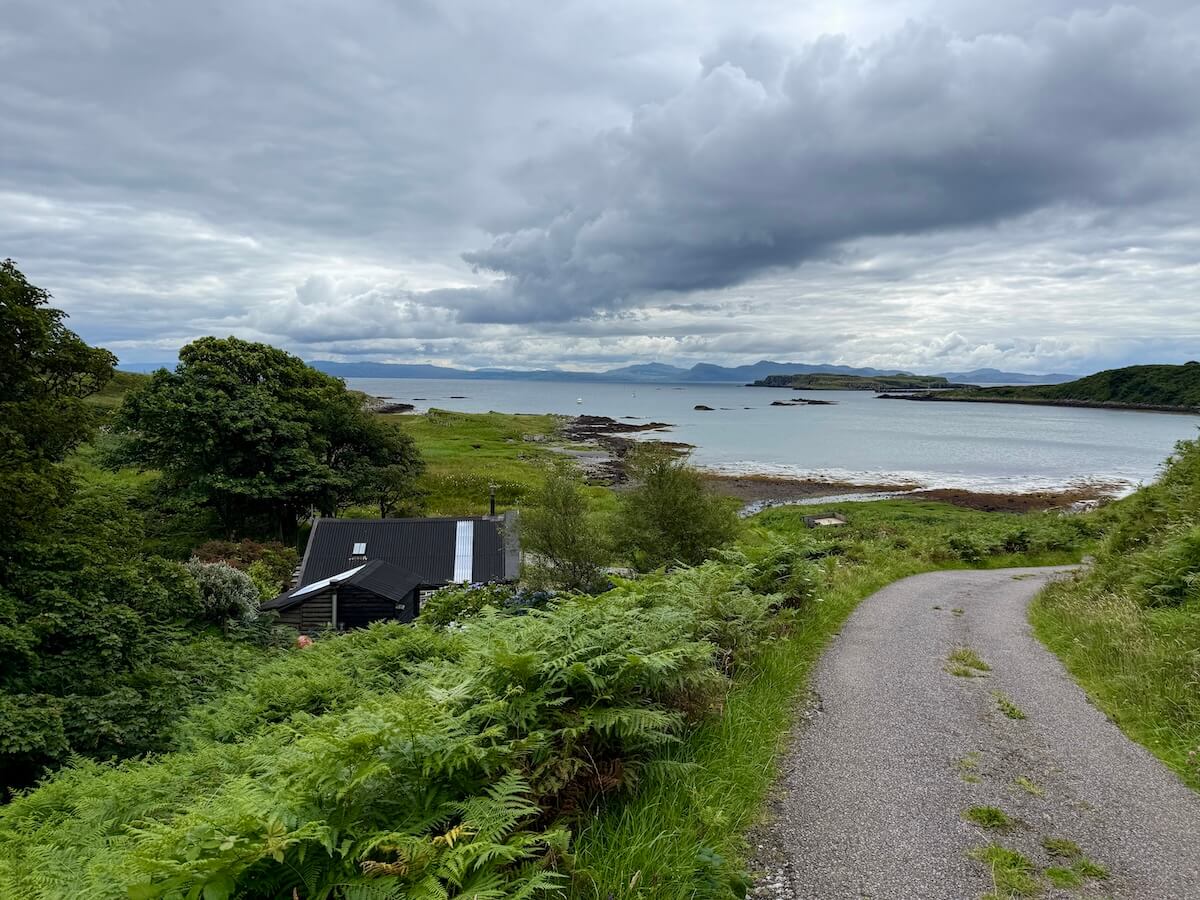
If you’re starting from Galmisdale, you can walk to the Singing Sands by following the road north towards Cleadale. It’s just over two miles to the beach, and the route is straightforward to follow. This walk can also be combined with a visit to Kildonnan if you want to extend it.
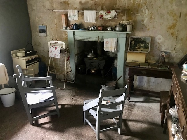
Along the way, you can stop at the Cleadale Crofting Museum (Croft No. 6). It’s definitely worth a visit to see how islanders lived until not too long ago and to learn a bit of local history.
As you continue, the road brings you close to the end of the island, where you can pick up the path down to the Singing Sands. This is a beautiful beach and often very quiet. When you walk across the sand, you can hear the “singing” sound caused by the high level of quartz in the sand. It’s a lovely place to spend some time just walking up and down and taking in the surroundings.
From here, you can also walk over towards Laig Bay or explore some of the forest trails in the area, although for longer routes you may need more time or an overnight stay.
Other Walks on Eigg
There are a few more walks you could try that I haven’t yet done. From Galmisdale or starting at Cleadale, you can walk down to Laig Bay and continuing onward up through the forest.
Also from Cleadale, there’s a steeper walk up to the ridge behind, Sgùrr an Fharaidh, where you’ll be rewarded with fantastic, sweeping views.
Most of these walks involve crossing marshy or boggy ground, so go prepared.
Finally, there are also organised walks on the island. The Scottish Wildlife Trust runs regular wildlife walks in the summer months, usually on a Wednesday.
Eigg Adventures offer paid walks and can tailor the routes to your needs if it’s a private group. Both will also provide you with a lot of information about Eigg and its history, geology, etc. It’s a great option if you don’t feel confident to go alone or just don’t want to.
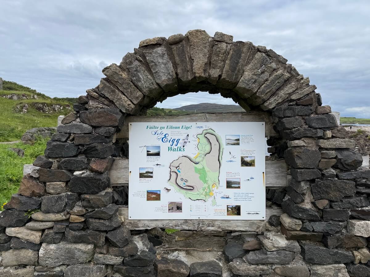
You can see the board of walks near the Standing Stone at Galmisdale.
Wrap-up on Walks on Eigg
As you can see, there’s quite a bit of variety when it comes to walks on Eigg, from coastal routes and historic and religious sites to beaches and more challenging climbs like the Sgùrr.
One of the nice things about walking here is that you can keep it as simple or as adventurous as you like. You can stick to the roads for an easier route or head off onto the rougher paths if you want to explore a bit more.
Just be prepared for different terrains and keep an eye on the weather, especially mist, and tides where needed. Other than that, just take your time, enjoy the views and make the most of being in a quiet and stunning location.
Next, read my post on other things to see and do on Eigg or read Discovering the Isle of Canna and Visiting the Isle of Rum.
Click here to get your free Eigg checklist to plan your trip
📱Follow on Instagram or Facebook to see more photos, videos, tips and snippets of information
🗞️ Join Everything Arisaig mailing list for notifications of new posts, products and occasional news.
📘 Get your digital guide to Arisaig, Morar and Mallaig here.
🌐 Go to Home or About to know more about Everything Arisaig or see all posts here.